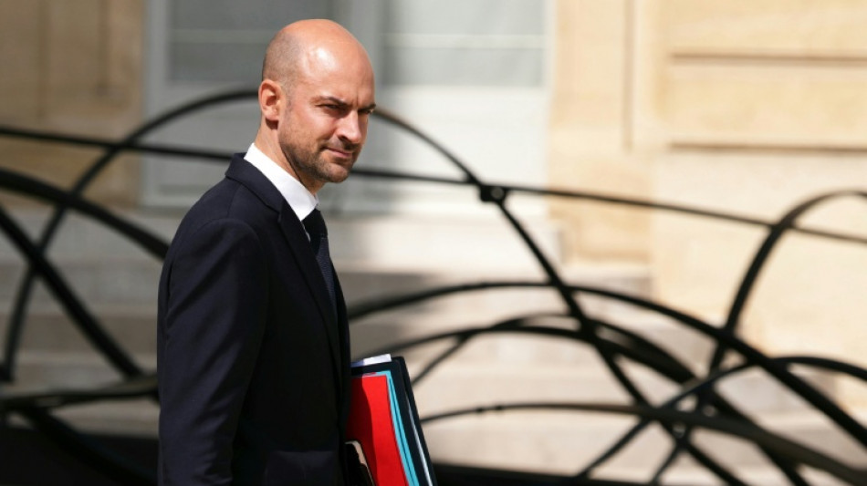
France to abandon 'distorted' Mercator map projection: minister / Photo: Dimitar DILKOFF - AFP
The French foreign ministry on Friday said it plans to abandon using maps with the traditional Mercator projection of the world, backing a push by Africa to give the continent a more realistic geographical representation.
The Mercator projection, named after a 16th century Flemish cartographer, gives too much prominence to Russia, the United States and the Danish island territory of Greenland at the expense of Africa and southeast Asia, Foreign Minister Jean-Noel Barrot said.
France is now co-sponsoring a text to be put forward at the United Nations by Togo and the African Union.
The foreign ministry "will abandon the Mercator projection in favour of map representations tailored to specific uses, more faithful to actual surface areas and in line with the recommendations of cartographers and scientists", Barrot said in a speech at the Sorbonne University in Paris.
"The United States, Russia and China take on a disproportionate visual prominence compared to Africa, Latin America or southeast Asia," he said.
"Greenland appears almost as big as Africa, whereas Africa is actually about fourteen times larger," he added.
The map was designed for maritime navigation by Flemish cartographer Gerardus Mercator in 1569.
It focused on accurate depictions of the shapes and angles of land masses, but their relative sizes were often inaccurate -- in part due to the challenge of rendering a three-dimensional globe onto a two-dimensional map.
Mercator's projection inflated northern regions and compressed equatorial ones, making Europe and North America appear much larger, while shrinking Africa and South America.
Barrot said "distortions eventually take root in perceptions" and that "the time has come to correct them".
"Changing maps obviously doesn't change the world," he acknowledged. "But correcting a distorted representation is already an act of truth," he said.
Barrot said the move was in line with France's push against over-simplified views of the world that stack a so-called "global south" against "the West" and a Europe in decline.
The initiative comes as France is seeking to improve relations with Africa, particularly in former colonies that have prickly ties with the former colonial power and where some states installed pro-Moscow juntas and kicked out French forces.
"This is a very concrete illustration of the shift in era we want to mark," a French diplomatic source said, asking not to be named.
The text submitted to the UN encourages international organisations and states to use other map projections, such as Equal Earth, to represent the continents.
A group of cartographers launched the Equal Earth projection in 2018. It makes Africa, Latin America, South Asia and Oceania appear vastly larger.
"Equal Earth preserves the relative surface areas of continents and, as much as possible, shows their shapes as they appear on a globe," one of the cartographers Bojan Savric told AFP in 2025.
W.Lievens--JdB